Rise east of Eastwick Hall Lane
Introduction
The photograph on this page of Rise east of Eastwick Hall Lane by Robin Webster as part of the Geograph project.
The Geograph project started in 2005 with the aim of publishing, organising and preserving representative images for every square kilometre of Great Britain, Ireland and the Isle of Man.

There are currently over 7.5m images from over 14,400 individuals and you can help contribute to the project by visiting https://www.geograph.org.uk
Rise east of Eastwick Hall Lane
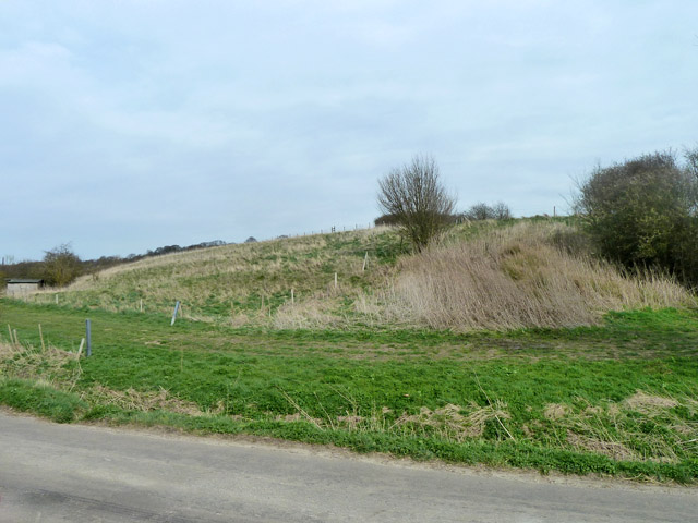
Image: © Robin Webster Taken: 20 Mar 2014
According to the sign here, on top of the rise is a moated site thought to be the site of the 13th century Eastwick Manor, burnt down in the 19th century.
Images are licensed for reuse under creativecommons.org/licenses/by-sa/2.0
Image Location
Latitude
51.792189
Longitude
0.075548