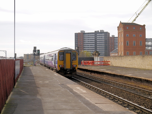
Salford Central Railway Station
Introduction
The photograph on this page of Salford Central Railway Station by David Dixon as part of the Geograph project.
The Geograph project started in 2005 with the aim of publishing, organising and preserving representative images for every square kilometre of Great Britain, Ireland and the Isle of Man.
There are currently over 7.5m images from over 14,400 individuals and you can help contribute to the project by visiting https://www.geograph.org.uk

Image: © David Dixon Taken: 19 Mar 2014
Salford Railway Station opened in 1838 as a terminus on the Manchester and Bolton Railway. The line was extended to Manchester Victoria in 1843 with the connection carried on iron columns. The station was renamed Salford Central in 1988, to avoid confusion with the far more recently built Salford Crescent (built to replace nearby Pendleton railway station), although it is by no means central to Salford being sited on New Bailey Street, just over the River Irwell from Manchester city centre. It is very close to Manchester's Spinningfields district and the Deansgate area. The station has only two platforms in current use (platforms 3 & 4 have been disused since the early 1990s). It is served by trains to and from Manchester Victoria, towards Rochdale, Salford Crescent, Bolton, Wigan Wallgate and beyond.

