B3213 east of Ivybridge
Introduction
The photograph on this page of B3213 east of Ivybridge by David Smith as part of the Geograph project.
The Geograph project started in 2005 with the aim of publishing, organising and preserving representative images for every square kilometre of Great Britain, Ireland and the Isle of Man.

There are currently over 7.5m images from over 14,400 individuals and you can help contribute to the project by visiting https://www.geograph.org.uk
B3213 east of Ivybridge
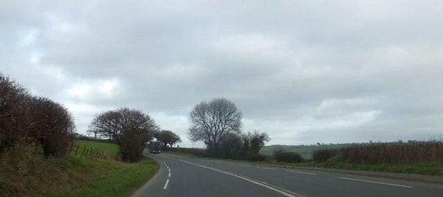
Image: © David Smith Taken: 19 Mar 2014
This was formerly the A38, running along the lower slope of Western Beacon on Dartmoor
Images are licensed for reuse under creativecommons.org/licenses/by-sa/2.0
Image Location
Latitude
50.390777
Longitude
-3.894743