OS Bench Mark Marstage farm
Introduction
The photograph on this page of OS Bench Mark Marstage farm by Anthony Vosper as part of the Geograph project.
The Geograph project started in 2005 with the aim of publishing, organising and preserving representative images for every square kilometre of Great Britain, Ireland and the Isle of Man.

There are currently over 7.5m images from over 14,400 individuals and you can help contribute to the project by visiting https://www.geograph.org.uk
OS Bench Mark Marstage farm
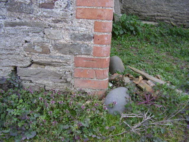
Image: © Anthony Vosper Taken: 16 Mar 2014
A cut mark low on a farm building adjacent to the road.
Images are licensed for reuse under creativecommons.org/licenses/by-sa/2.0
Image Location


Leaflet Map data © OpenStreetMap
Latitude
51.096369
Longitude
-4.166533