Walking down Mothercombe slipway,Erme estuary
Introduction
The photograph on this page of Walking down Mothercombe slipway,Erme estuary by jeff collins as part of the Geograph project.
The Geograph project started in 2005 with the aim of publishing, organising and preserving representative images for every square kilometre of Great Britain, Ireland and the Isle of Man.

There are currently over 7.5m images from over 14,400 individuals and you can help contribute to the project by visiting https://www.geograph.org.uk
Walking down Mothercombe slipway,Erme estuary
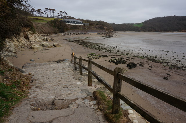
Image: © jeff collins Taken: 19 Mar 2014
Ahead are the old Coastguard Cottages. At low tide it is possible to walk for miles further up the estuary on both sides of the river.
Images are licensed for reuse under creativecommons.org/licenses/by-sa/2.0
Image Location
Latitude
50.31211
Longitude
-3.947234