St Andrews Road, Lhanbryde
Introduction
The photograph on this page of St Andrews Road, Lhanbryde by Anne Burgess as part of the Geograph project.
The Geograph project started in 2005 with the aim of publishing, organising and preserving representative images for every square kilometre of Great Britain, Ireland and the Isle of Man.

There are currently over 7.5m images from over 14,400 individuals and you can help contribute to the project by visiting https://www.geograph.org.uk
St Andrews Road, Lhanbryde
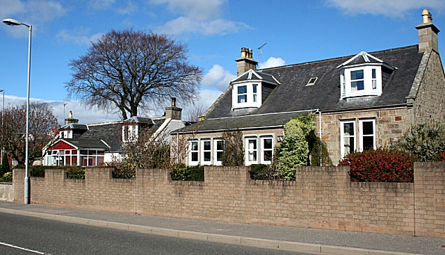
Image: © Anne Burgess Taken: 5 Apr 2007
Houses on the north side of the main street of the village, now a peaceful spot since the village bypass was opened in 1995/6.
Images are licensed for reuse under creativecommons.org/licenses/by-sa/2.0
Image Location
Latitude
57.634765
Longitude
-3.219219