Poached pasture
Introduction
The photograph on this page of Poached pasture by Jonathan Wilkins as part of the Geograph project.
The Geograph project started in 2005 with the aim of publishing, organising and preserving representative images for every square kilometre of Great Britain, Ireland and the Isle of Man.

There are currently over 7.5m images from over 14,400 individuals and you can help contribute to the project by visiting https://www.geograph.org.uk
Poached pasture
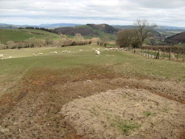
Image: © Jonathan Wilkins Taken: 17 Mar 2014
Curious geometric designs in the muddy pasture where a feeding station has been located over Winter. The view takes in the road leading to Ceri and the Miwl Valley
Images are licensed for reuse under creativecommons.org/licenses/by-sa/2.0
Image Location
Latitude
52.494755
Longitude
-3.289216