Private road
Introduction
The photograph on this page of Private road by Trevor Harris as part of the Geograph project.
The Geograph project started in 2005 with the aim of publishing, organising and preserving representative images for every square kilometre of Great Britain, Ireland and the Isle of Man.

There are currently over 7.5m images from over 14,400 individuals and you can help contribute to the project by visiting https://www.geograph.org.uk
Private road
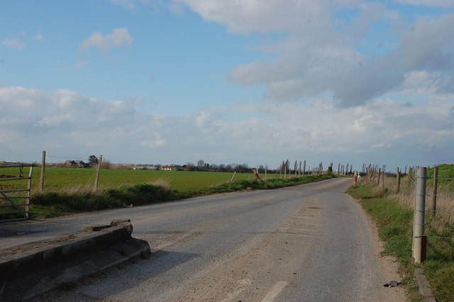
Image: © Trevor Harris Taken: 18 Mar 2014
This road starts in the south near Great Wakering and leads to the tip on Barling Marsh, avoiding lorries having to use the narrow lanes.
Images are licensed for reuse under creativecommons.org/licenses/by-sa/2.0
Image Location


Leaflet Map data © OpenStreetMap
Latitude
51.566891
Longitude
0.76961