Brimmon Lane 2
Introduction
The photograph on this page of Brimmon Lane 2 by Jonathan Wilkins as part of the Geograph project.
The Geograph project started in 2005 with the aim of publishing, organising and preserving representative images for every square kilometre of Great Britain, Ireland and the Isle of Man.

There are currently over 7.5m images from over 14,400 individuals and you can help contribute to the project by visiting https://www.geograph.org.uk
Brimmon Lane 2
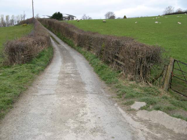
Image: © Jonathan Wilkins Taken: 17 Mar 2014
Looking up the route of Brimmon Lane where it is still a country lane, towards Heol Treowen with its modern housing developments. It looks very rural here and belies its position on the edge of town.
Images are licensed for reuse under creativecommons.org/licenses/by-sa/2.0
Image Location
Latitude
52.51047
Longitude
-3.307211