Field path from Mucking Hall
Introduction
The photograph on this page of Field path from Mucking Hall by Trevor Harris as part of the Geograph project.
The Geograph project started in 2005 with the aim of publishing, organising and preserving representative images for every square kilometre of Great Britain, Ireland and the Isle of Man.

There are currently over 7.5m images from over 14,400 individuals and you can help contribute to the project by visiting https://www.geograph.org.uk
Field path from Mucking Hall
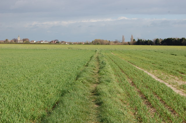
Image: © Trevor Harris Taken: 18 Mar 2014
Barling village and church is in the distance, but where the crops change ahead the path east ends and you have to walk north or south.
Images are licensed for reuse under creativecommons.org/licenses/by-sa/2.0
Image Location


Leaflet Map data © OpenStreetMap
Latitude
51.5716
Longitude
0.772061