Field by Sutton Road
Introduction
The photograph on this page of Field by Sutton Road by Trevor Harris as part of the Geograph project.
The Geograph project started in 2005 with the aim of publishing, organising and preserving representative images for every square kilometre of Great Britain, Ireland and the Isle of Man.

There are currently over 7.5m images from over 14,400 individuals and you can help contribute to the project by visiting https://www.geograph.org.uk
Field by Sutton Road
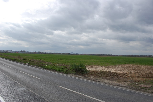
Image: © Trevor Harris Taken: 18 Mar 2014
Flat, featureless landscape. Part of Temple Farm industrial estate can be seen towards the left. Taken from outside The Old Rectory.
Images are licensed for reuse under creativecommons.org/licenses/by-sa/2.0
Image Location
Latitude
51.565108
Longitude
0.715098