Toft Gate farmhouse, Burnopfield
Introduction
The photograph on this page of Toft Gate farmhouse, Burnopfield by Robert Graham as part of the Geograph project.
The Geograph project started in 2005 with the aim of publishing, organising and preserving representative images for every square kilometre of Great Britain, Ireland and the Isle of Man.

There are currently over 7.5m images from over 14,400 individuals and you can help contribute to the project by visiting https://www.geograph.org.uk
Toft Gate farmhouse, Burnopfield
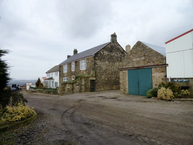
Image: © Robert Graham Taken: 5 Mar 2014
Located off Syke Road, at the western end of the village. The farmhouse is shown in this position on the 1862 Ordnance Survey First Series map and is probably early 19th century.
Images are licensed for reuse under creativecommons.org/licenses/by-sa/2.0
Image Location


Leaflet Map data © OpenStreetMap
Latitude
54.897102
Longitude
-1.739421