M20 near Aylesford
Introduction
The photograph on this page of M20 near Aylesford by Danny P Robinson as part of the Geograph project.
The Geograph project started in 2005 with the aim of publishing, organising and preserving representative images for every square kilometre of Great Britain, Ireland and the Isle of Man.

There are currently over 7.5m images from over 14,400 individuals and you can help contribute to the project by visiting https://www.geograph.org.uk
M20 near Aylesford
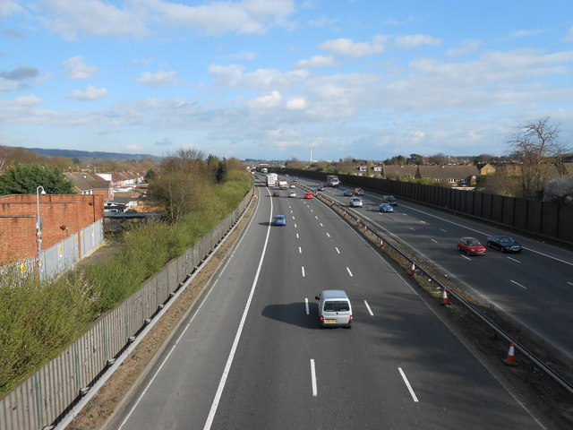
Image: © Danny P Robinson Taken: 18 Mar 2014
Looking coastbound. To the left there is an electricity substation. The chimney almost centre-shot is the incinerator at Allington.
Images are licensed for reuse under creativecommons.org/licenses/by-sa/2.0
Image Location
Latitude
51.300231
Longitude
0.467734