Public park within Wolverhampton Ring Road
Introduction
The photograph on this page of Public park within Wolverhampton Ring Road by Roger D Kidd as part of the Geograph project.
The Geograph project started in 2005 with the aim of publishing, organising and preserving representative images for every square kilometre of Great Britain, Ireland and the Isle of Man.

There are currently over 7.5m images from over 14,400 individuals and you can help contribute to the project by visiting https://www.geograph.org.uk
Public park within Wolverhampton Ring Road
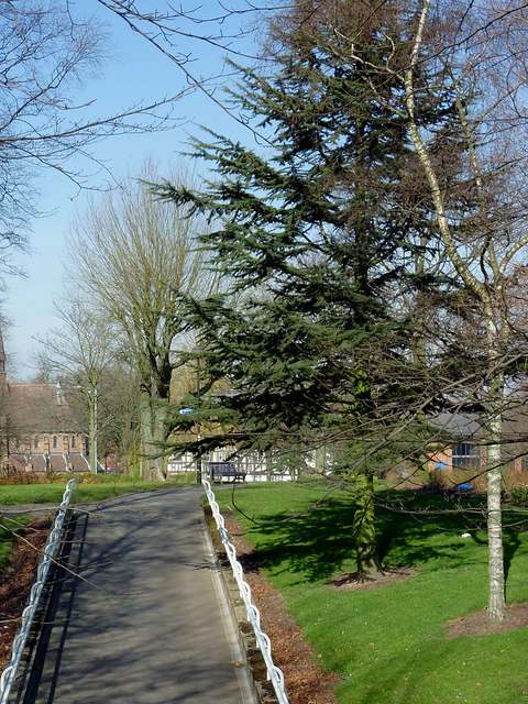
Image: © Roger D Kidd Taken: 9 Mar 2014
From here at the Chapel Ash roundabout, clockwise to the crossroads at Waterloo Road, the two carriageways of the ring road are separated by a wide and attractively landscaped strip of public parkland. Mature trees and bushes are augmented by well attended grassy areas with cast iron framed seats. I notice that considerable re-landscaping has been done since the current satellite image was recorded. Many shrubs have gone. This pathway leads down to the landscaped central area of Chapel Ash Island.
Images are licensed for reuse under creativecommons.org/licenses/by-sa/2.0
Image Location


Leaflet Map data © OpenStreetMap
Latitude
52.585669
Longitude
-2.135006