Spital Wood footpath between the deer fence and the boundary wall
Introduction
The photograph on this page of Spital Wood footpath between the deer fence and the boundary wall by Julian Paren as part of the Geograph project.
The Geograph project started in 2005 with the aim of publishing, organising and preserving representative images for every square kilometre of Great Britain, Ireland and the Isle of Man.

There are currently over 7.5m images from over 14,400 individuals and you can help contribute to the project by visiting https://www.geograph.org.uk
Spital Wood footpath between the deer fence and the boundary wall
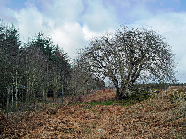
Image: © Julian Paren Taken: 17 Mar 2014
All OS Maps on this site fail to mark a continuing footpath along the edge of Spital Wood. In fact access is easy in the winter for the circuit back to the Ark Road. It is good to find old trees located close to a modern plantation.
Images are licensed for reuse under creativecommons.org/licenses/by-sa/2.0
Image Location
Latitude
57.5287
Longitude
-4.419904