Sports pavilion on the site of a former colliery in Penrhiwceiber
Introduction
The photograph on this page of Sports pavilion on the site of a former colliery in Penrhiwceiber by Jaggery as part of the Geograph project.
The Geograph project started in 2005 with the aim of publishing, organising and preserving representative images for every square kilometre of Great Britain, Ireland and the Isle of Man.

There are currently over 7.5m images from over 14,400 individuals and you can help contribute to the project by visiting https://www.geograph.org.uk
Sports pavilion on the site of a former colliery in Penrhiwceiber
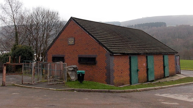
Image: © Jaggery Taken: 30 Jan 2014
A plaque http://www.geograph.org.uk/photo/3891286 on the building at the edge of Rheola Street commemorates the employees who worked and died in Penrikyber Colliery, a 3-shaft mine complex which occupied this site from 1879-1985. The spelling Penrikyber, the Anglicised name of the village, is rarely seen today except in historical contexts.
Images are licensed for reuse under creativecommons.org/licenses/by-sa/2.0
Image Location


Leaflet Map data © OpenStreetMap
Latitude
51.665969
Longitude
-3.359536