Arkesden: postbox at Quicksie Hill
Introduction
The photograph on this page of Arkesden: postbox at Quicksie Hill by John Sutton as part of the Geograph project.
The Geograph project started in 2005 with the aim of publishing, organising and preserving representative images for every square kilometre of Great Britain, Ireland and the Isle of Man.

There are currently over 7.5m images from over 14,400 individuals and you can help contribute to the project by visiting https://www.geograph.org.uk
Arkesden: postbox at Quicksie Hill
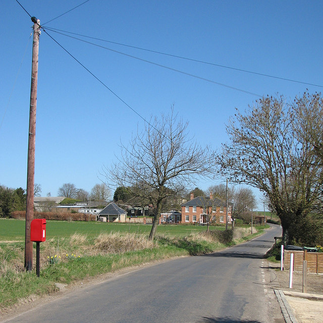
Image: © John Sutton Taken: 16 Mar 2014
The box serves the northernmost houses in Arkesden. (The box, telephone pole and garden to the right are just inside this gridsquare, as is everything beyond. The photographer's feet may or may not have been.)
Images are licensed for reuse under creativecommons.org/licenses/by-sa/2.0
Image Location


Leaflet Map data © OpenStreetMap
Latitude
51.994072
Longitude
0.160182