Arkesden: the road from Hobs Aerie to Newland End
Introduction
The photograph on this page of Arkesden: the road from Hobs Aerie to Newland End by John Sutton as part of the Geograph project.
The Geograph project started in 2005 with the aim of publishing, organising and preserving representative images for every square kilometre of Great Britain, Ireland and the Isle of Man.

There are currently over 7.5m images from over 14,400 individuals and you can help contribute to the project by visiting https://www.geograph.org.uk
Arkesden: the road from Hobs Aerie to Newland End
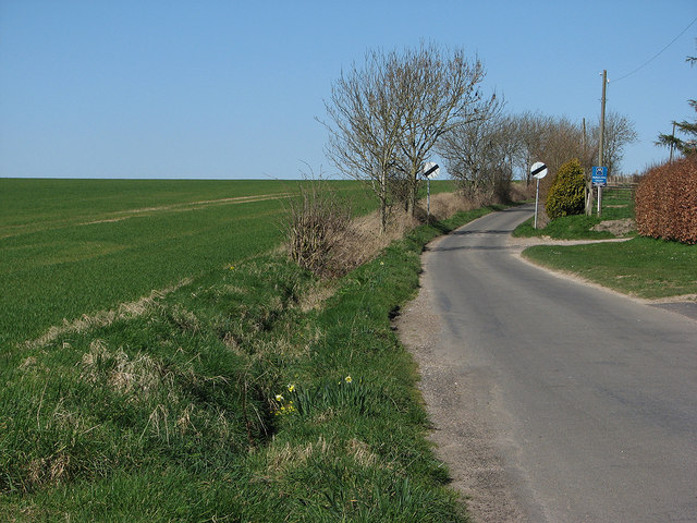
Image: © John Sutton Taken: 16 Mar 2014
The fields to the left are crisscrossed by footpaths. The skyline is 119m/390ft above sea level.
Images are licensed for reuse under creativecommons.org/licenses/by-sa/2.0
Image Location


Leaflet Map data © OpenStreetMap
Latitude
51.99479
Longitude
0.160217