View across the north of Rhymney
Introduction
The photograph on this page of View across the north of Rhymney by Robin Drayton as part of the Geograph project.
The Geograph project started in 2005 with the aim of publishing, organising and preserving representative images for every square kilometre of Great Britain, Ireland and the Isle of Man.

There are currently over 7.5m images from over 14,400 individuals and you can help contribute to the project by visiting https://www.geograph.org.uk
View across the north of Rhymney
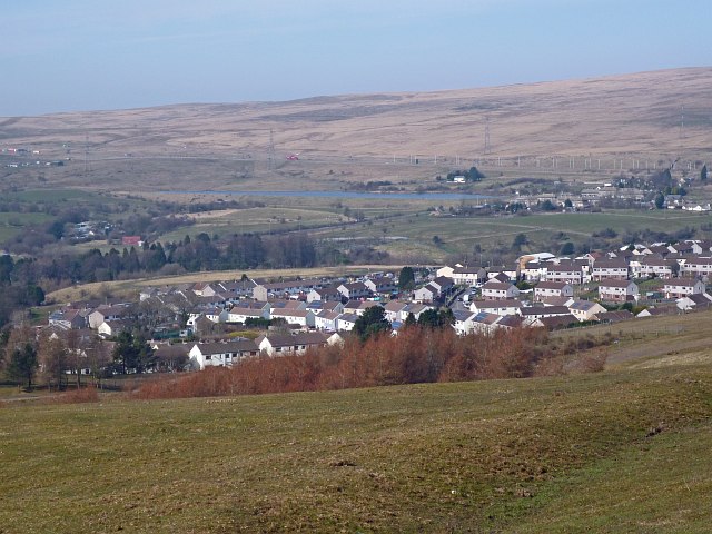
Image: © Robin Drayton Taken: 13 Mar 2014
Taken from Rhymney Common. Showing Bute Town at the upper right and the reservoir to the left. Above these, a line of lamp posts indicates the A465 Heads of The Valleys Road.
Images are licensed for reuse under creativecommons.org/licenses/by-sa/2.0
Image Location
Latitude
51.770091
Longitude
-3.28788