Cyffordd o lwybrau / Junction of paths
Introduction
The photograph on this page of Cyffordd o lwybrau / Junction of paths by Alan Richards as part of the Geograph project.
The Geograph project started in 2005 with the aim of publishing, organising and preserving representative images for every square kilometre of Great Britain, Ireland and the Isle of Man.

There are currently over 7.5m images from over 14,400 individuals and you can help contribute to the project by visiting https://www.geograph.org.uk
Cyffordd o lwybrau / Junction of paths
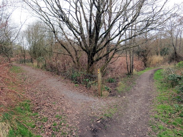
Image: © Alan Richards Taken: 17 Mar 2014
Cyffordd o lwybrau hanner ffordd rhwng Pentre Ardd a Gorseinon. Mae'r llwybr ar y chwith yn arwain at drac seiclo. A junction of paths halfway between Garden Village and Gorseinon (trans. Eynon's fen). The path on the left joins the cycle track.
Images are licensed for reuse under creativecommons.org/licenses/by-sa/2.0
Image Location
Latitude
51.663782
Longitude
-4.033573