Parsonage Lane joins the B1004
Introduction
The photograph on this page of Parsonage Lane joins the B1004 by Robin Webster as part of the Geograph project.
The Geograph project started in 2005 with the aim of publishing, organising and preserving representative images for every square kilometre of Great Britain, Ireland and the Isle of Man.

There are currently over 7.5m images from over 14,400 individuals and you can help contribute to the project by visiting https://www.geograph.org.uk
Parsonage Lane joins the B1004
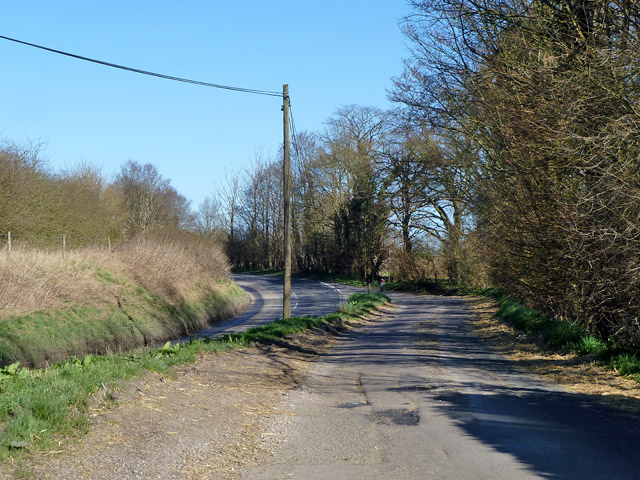
Image: © Robin Webster Taken: 16 Mar 2014
There is a grass triangle at the junction, but it has an extremely acute angle towards Bishop's Stortford, the roads running in parallel but at different levels.
Images are licensed for reuse under creativecommons.org/licenses/by-sa/2.0
Image Location
Latitude
51.851474
Longitude
0.099475