Ripponden FP64 at Carr Laithe
Introduction
The photograph on this page of Ripponden FP64 at Carr Laithe by Humphrey Bolton as part of the Geograph project.
The Geograph project started in 2005 with the aim of publishing, organising and preserving representative images for every square kilometre of Great Britain, Ireland and the Isle of Man.

There are currently over 7.5m images from over 14,400 individuals and you can help contribute to the project by visiting https://www.geograph.org.uk
Ripponden FP64 at Carr Laithe
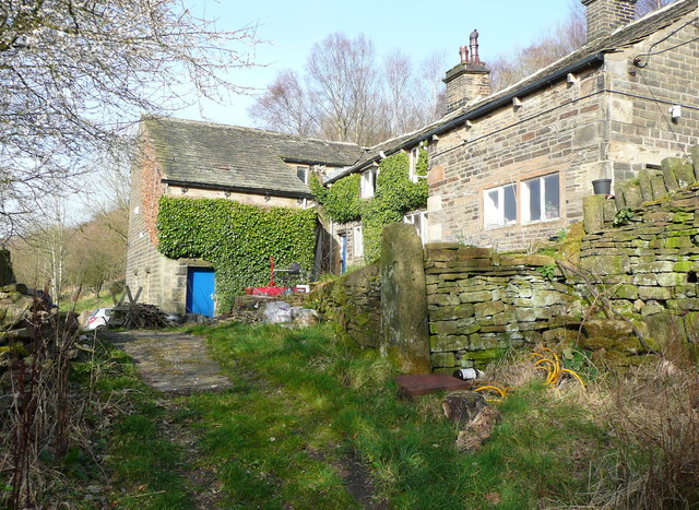
Image: © Humphrey Bolton Taken: 13 Mar 2014
The spelling was 'Lathe' on the 1850 map. FP64 joins FP63 here, turning to the right. FP63 also continues to the left, going down the driveway to Hanging Stones Lane.
Images are licensed for reuse under creativecommons.org/licenses/by-sa/2.0
Image Location
Latitude
53.680762
Longitude
-1.930774