
Hungry House Lane, Magheragall
Introduction
The photograph on this page of Hungry House Lane, Magheragall by Dean Molyneaux as part of the Geograph project.
The Geograph project started in 2005 with the aim of publishing, organising and preserving representative images for every square kilometre of Great Britain, Ireland and the Isle of Man.

There are currently over 7.5m images from over 14,400 individuals and you can help contribute to the project by visiting https://www.geograph.org.uk
Hungry House Lane, Magheragall
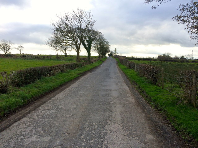
Image: © Dean Molyneaux Taken: 16 Mar 2014
This unusually named minor road links the Sheepwalk Road leading northwest from Derriaghy with the Lisburn to Glenavy Road, between the townlands of Ballynadolly and Ballycarrickmaddy. With regard to the name, the only information I have been able to find online comes from the 1986 BBC Domesday project. The contributors to the project suggested two theories: 1 - a whole household here died of starvation during the Irish Famine of the 1840s; 2 - there was a place here where food was distributed during the Famine. Any further information would be greatly appreciated.
Images are licensed for reuse under creativecommons.org/licenses/by-sa/2.0
Image Location

Latitude
54.550856
Longitude
-6.13352