The Orangery and other buildings
Introduction
The photograph on this page of The Orangery and other buildings by Des Blenkinsopp as part of the Geograph project.
The Geograph project started in 2005 with the aim of publishing, organising and preserving representative images for every square kilometre of Great Britain, Ireland and the Isle of Man.

There are currently over 7.5m images from over 14,400 individuals and you can help contribute to the project by visiting https://www.geograph.org.uk
The Orangery and other buildings
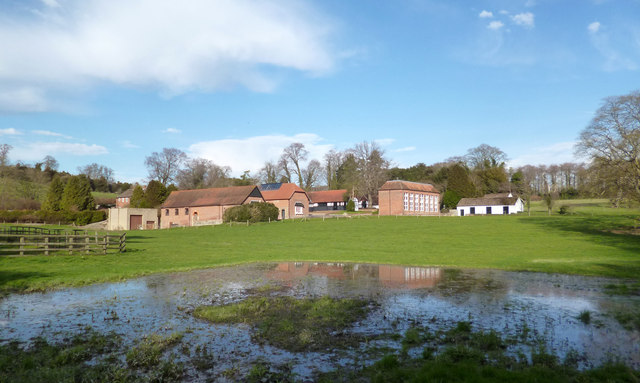
Image: © Des Blenkinsopp Taken: 15 Mar 2014
A group of original buildings on the Lockinge Estate. Now business lets, this link http://westwaddy-adp.co.uk/sectors/conversions/project.php?id=25 is from the company that did the conversion. In the foreground is a bit of localized flooding from the Lockinge Brook which is just out of shot to the right.
Images are licensed for reuse under creativecommons.org/licenses/by-sa/2.0
Image Location
Latitude
51.582119
Longitude
-1.381389