Moated mound
Introduction
The photograph on this page of Moated mound by Neil Owen as part of the Geograph project.
The Geograph project started in 2005 with the aim of publishing, organising and preserving representative images for every square kilometre of Great Britain, Ireland and the Isle of Man.

There are currently over 7.5m images from over 14,400 individuals and you can help contribute to the project by visiting https://www.geograph.org.uk
Moated mound
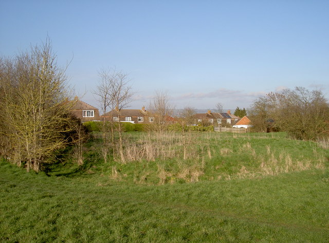
Image: © Neil Owen Taken: 10 Mar 2014
This is Margaret's Camp, an area of the Gastons that has puzzled historians for a long time. Although it seems certain that Margaret of Anjou, queen to Henry VI, did actually establish a camp here before the battle of 1471 (and hence the name), the earthworks are rather older. Intriguingly, the highest point is a squarish mound of about 30m width, with some watery ditches around it and an 'L-shaped' embankment to the west of it. Other ditches lead off toward Gupshill Manor. See Image] for more views.
Images are licensed for reuse under creativecommons.org/licenses/by-sa/2.0
Image Location
Latitude
51.98114
Longitude
-2.15429