Farmland, Lucton
Introduction
The photograph on this page of Farmland, Lucton by Richard Webb as part of the Geograph project.
The Geograph project started in 2005 with the aim of publishing, organising and preserving representative images for every square kilometre of Great Britain, Ireland and the Isle of Man.

There are currently over 7.5m images from over 14,400 individuals and you can help contribute to the project by visiting https://www.geograph.org.uk
Farmland, Lucton
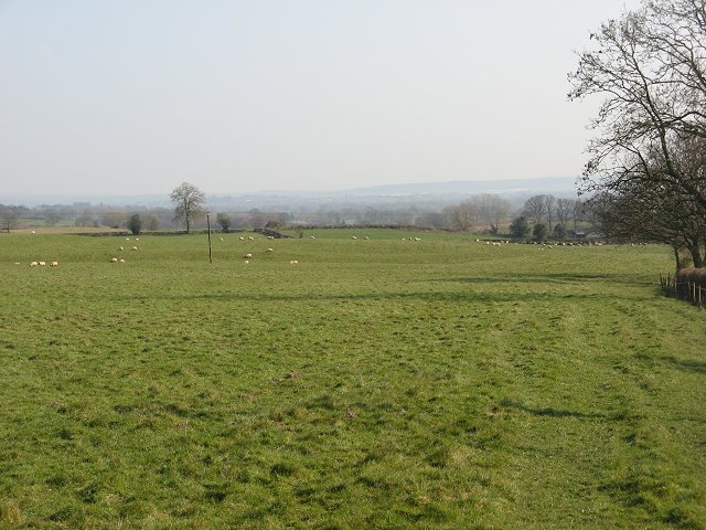
Image: © Richard Webb Taken: 1 Apr 2007
Grassland descends the dip slope of the great limestone ridge towards the distant Lugg.
Images are licensed for reuse under creativecommons.org/licenses/by-sa/2.0
Image Location
Latitude
52.277971
Longitude
-2.817826