Ramsden Farm, Ebony
Introduction
The photograph on this page of Ramsden Farm, Ebony by Simon Carey as part of the Geograph project.
The Geograph project started in 2005 with the aim of publishing, organising and preserving representative images for every square kilometre of Great Britain, Ireland and the Isle of Man.

There are currently over 7.5m images from over 14,400 individuals and you can help contribute to the project by visiting https://www.geograph.org.uk
Ramsden Farm, Ebony
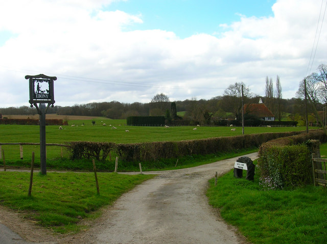
Image: © Simon Carey Taken: 4 Apr 2007
The track leads to both Hayes and Ramsden Farms both of whom are situated on the higher ground of Oxney above the former valley of the Rother.
Images are licensed for reuse under creativecommons.org/licenses/by-sa/2.0
Image Location


Leaflet Map data © OpenStreetMap
Latitude
51.032323
Longitude
0.725909