Stoke Prior
Introduction
The photograph on this page of Stoke Prior by Philip Pankhurst as part of the Geograph project.
The Geograph project started in 2005 with the aim of publishing, organising and preserving representative images for every square kilometre of Great Britain, Ireland and the Isle of Man.

There are currently over 7.5m images from over 14,400 individuals and you can help contribute to the project by visiting https://www.geograph.org.uk
Stoke Prior
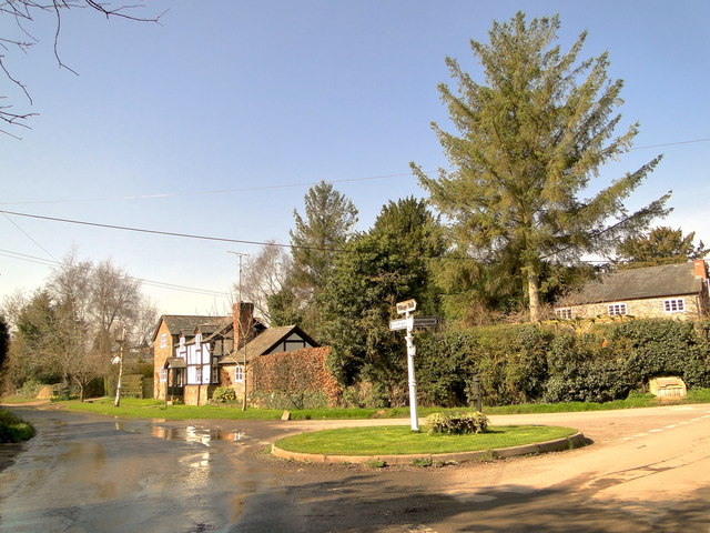
Image: © Philip Pankhurst Taken: 14 Mar 2014
The road to Ford Bridge. Water pours down the lane from a leaking water main.
Images are licensed for reuse under creativecommons.org/licenses/by-sa/2.0
Image Location


Leaflet Map data © OpenStreetMap
Latitude
52.205445
Longitude
-2.701767