Rochester Way, Kidbrooke
Introduction
The photograph on this page of Rochester Way, Kidbrooke by Malc McDonald as part of the Geograph project.
The Geograph project started in 2005 with the aim of publishing, organising and preserving representative images for every square kilometre of Great Britain, Ireland and the Isle of Man.

There are currently over 7.5m images from over 14,400 individuals and you can help contribute to the project by visiting https://www.geograph.org.uk
Rochester Way, Kidbrooke
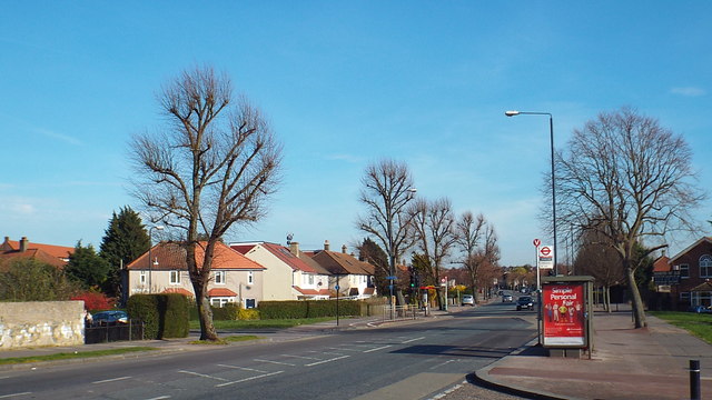
Image: © Malc McDonald Taken: 15 Mar 2014
Rochester Way used to be the route of the A2 trunk road from Dover, Canterbury and the Medway Towns to London. A relief road was opened in the 1980s taking much of the traffic away from Rochester Way. This image was taken on a sunny March day. At this time of year, the trees are still bare from winter.
Images are licensed for reuse under creativecommons.org/licenses/by-sa/2.0
Image Location
Latitude
51.462086
Longitude
0.038797