Outbuildings behind Woodlands Farm
Introduction
The photograph on this page of Outbuildings behind Woodlands Farm by Chris Heaton as part of the Geograph project.
The Geograph project started in 2005 with the aim of publishing, organising and preserving representative images for every square kilometre of Great Britain, Ireland and the Isle of Man.

There are currently over 7.5m images from over 14,400 individuals and you can help contribute to the project by visiting https://www.geograph.org.uk
Outbuildings behind Woodlands Farm
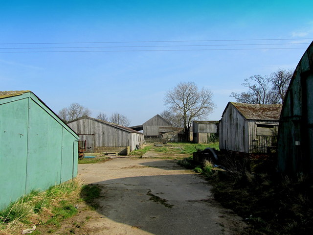
Image: © Chris Heaton Taken: 14 Mar 2014
Mostly chicken battery huts - nearly all these buildings appear to have been abandoned.
Images are licensed for reuse under creativecommons.org/licenses/by-sa/2.0
Image Location
Latitude
53.952528
Longitude
-1.40218