West Common Lane, Scunthorpe
Introduction
The photograph on this page of West Common Lane, Scunthorpe by Oliver Dixon as part of the Geograph project.
The Geograph project started in 2005 with the aim of publishing, organising and preserving representative images for every square kilometre of Great Britain, Ireland and the Isle of Man.

There are currently over 7.5m images from over 14,400 individuals and you can help contribute to the project by visiting https://www.geograph.org.uk
West Common Lane, Scunthorpe
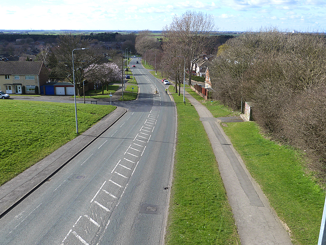
Image: © Oliver Dixon Taken: 10 Mar 2014
Seen from the footbridge on the Ridgeway looking west. The Ridgeway runs along a northern extension of Lincoln Heath which forms a south-north green belt of higher land through Scunthorpe.
Images are licensed for reuse under creativecommons.org/licenses/by-sa/2.0
Image Location
Latitude
53.574457
Longitude
-0.672346