Chapel Ash crossroads in Wolverhampton
Introduction
The photograph on this page of Chapel Ash crossroads in Wolverhampton by Roger D Kidd as part of the Geograph project.
The Geograph project started in 2005 with the aim of publishing, organising and preserving representative images for every square kilometre of Great Britain, Ireland and the Isle of Man.

There are currently over 7.5m images from over 14,400 individuals and you can help contribute to the project by visiting https://www.geograph.org.uk
Chapel Ash crossroads in Wolverhampton
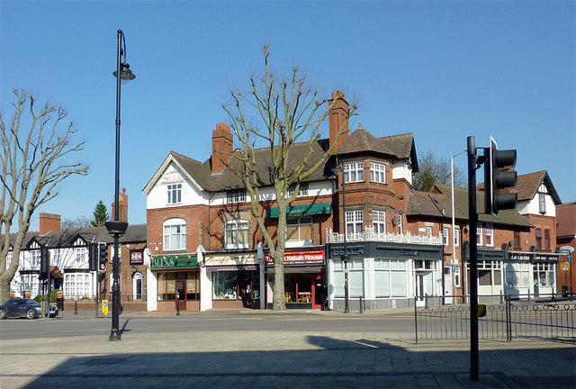
Image: © Roger D Kidd Taken: 9 Mar 2014
This is at the five-way junction where Chapel Ash becomes Tettenhall Road, Bath Road joins where Bella's shop is, and Merridale Road comes in (off to the left). Clifton Street is behind the camera.
Images are licensed for reuse under creativecommons.org/licenses/by-sa/2.0
Image Location
Latitude
52.585573
Longitude
-2.140024