Looking east on footpath to Sages Lane
Introduction
The photograph on this page of Looking east on footpath to Sages Lane by Shazz as part of the Geograph project.
The Geograph project started in 2005 with the aim of publishing, organising and preserving representative images for every square kilometre of Great Britain, Ireland and the Isle of Man.

There are currently over 7.5m images from over 14,400 individuals and you can help contribute to the project by visiting https://www.geograph.org.uk
Looking east on footpath to Sages Lane
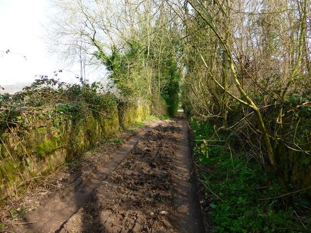
Image: © Shazz Taken: 14 Mar 2014
On the left and right of the path at this point are the walls which were once a railway bridge over the now defunct Meon Valley Line.
Images are licensed for reuse under creativecommons.org/licenses/by-sa/2.0
Image Location


Leaflet Map data © OpenStreetMap
Latitude
51.050182
Longitude
-1.038543