Former Seaton Station
Introduction
The photograph on this page of Former Seaton Station by Oliver Dixon as part of the Geograph project.
The Geograph project started in 2005 with the aim of publishing, organising and preserving representative images for every square kilometre of Great Britain, Ireland and the Isle of Man.

There are currently over 7.5m images from over 14,400 individuals and you can help contribute to the project by visiting https://www.geograph.org.uk
Former Seaton Station
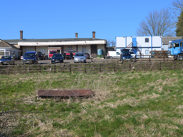
Image: © Oliver Dixon Taken: 9 Mar 2014
Seaton station was opened in 1850 and eventually took on a role of some importance as the junction where the line from Rugby split, with one branch going to Peterborough, the other going to Stamford. There was also a minor branch line to Uppingham from here. The station was closed in 1966. The site of the station, which still retains some of the original buildings, is now a scrapyard. The station footbridge seen in Image in 2007 has since been demolished.
Images are licensed for reuse under creativecommons.org/licenses/by-sa/2.0
Image Location


Leaflet Map data © OpenStreetMap
Latitude
52.571519
Longitude
-0.660343