Footpath towards Manorway Green
Introduction
The photograph on this page of Footpath towards Manorway Green by Linda Craven as part of the Geograph project.
The Geograph project started in 2005 with the aim of publishing, organising and preserving representative images for every square kilometre of Great Britain, Ireland and the Isle of Man.

There are currently over 7.5m images from over 14,400 individuals and you can help contribute to the project by visiting https://www.geograph.org.uk
Footpath towards Manorway Green
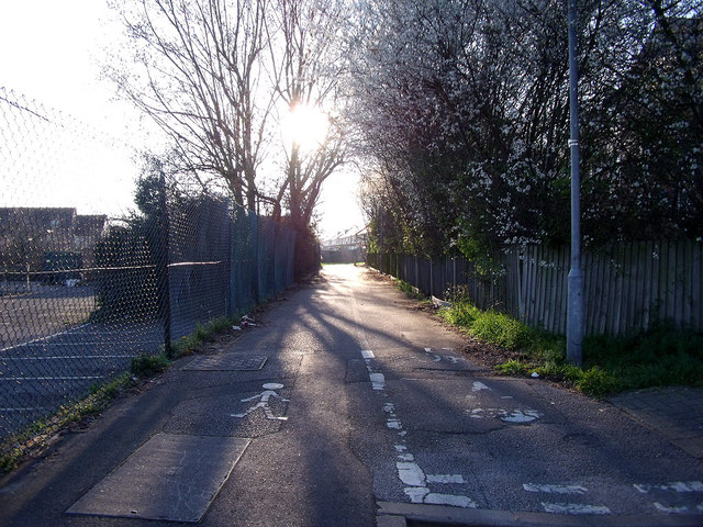
Image: © Linda Craven Taken: 9 Mar 2014
This urban footpath leads from the western end of Copperfield Road to link to the north-south path along the Bexley/Greenwich border known as Manorway Green. To the left is the car park of Castilion Primary School.
Images are licensed for reuse under creativecommons.org/licenses/by-sa/2.0
Image Location
Latitude
51.510631
Longitude
0.120804