Trees by Church Lane
Introduction
The photograph on this page of Trees by Church Lane by Robin Webster as part of the Geograph project.
The Geograph project started in 2005 with the aim of publishing, organising and preserving representative images for every square kilometre of Great Britain, Ireland and the Isle of Man.

There are currently over 7.5m images from over 14,400 individuals and you can help contribute to the project by visiting https://www.geograph.org.uk
Trees by Church Lane
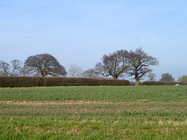
Image: © Robin Webster Taken: 13 Mar 2014
Church Lane runs along this side of the hedge. Trees on the right stand each side of the entrance to a drive to a farm called Standon Friars. The foreground crop looks like oil seed rape.
Images are licensed for reuse under creativecommons.org/licenses/by-sa/2.0
Image Location
Latitude
51.878278
Longitude
0.042898