
View across Bloods Dale
Introduction
The photograph on this page of View across Bloods Dale by Evelyn Simak as part of the Geograph project.
The Geograph project started in 2005 with the aim of publishing, organising and preserving representative images for every square kilometre of Great Britain, Ireland and the Isle of Man.

There are currently over 7.5m images from over 14,400 individuals and you can help contribute to the project by visiting https://www.geograph.org.uk
View across Bloods Dale
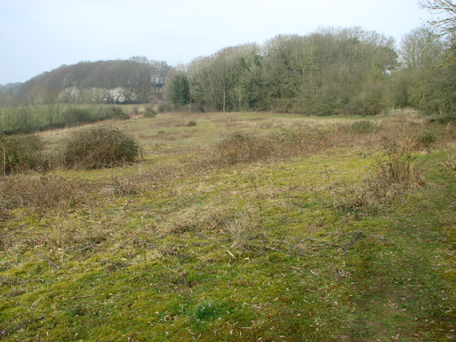
Image: © Evelyn Simak Taken: 14 Mar 2014
This area is part of the former David Rice mental hospital site. The hospital buildings stood further to the north, on the other side of the woodland seen in the background. The name Bloods Dale is believed to derive from a battle between the Danes and the Saxons that was fought here. An early Saxon cremation cemetery was unearthed in the mid-19th century and thirteen skeletons of unknown date were found during the construction of the railway line, a little further to the west.
Images are licensed for reuse under creativecommons.org/licenses/by-sa/2.0
Image Location

Latitude
52.669545
Longitude
1.233981