The edge of Dyer's Green
Introduction
The photograph on this page of The edge of Dyer's Green by John Sutton as part of the Geograph project.
The Geograph project started in 2005 with the aim of publishing, organising and preserving representative images for every square kilometre of Great Britain, Ireland and the Isle of Man.

There are currently over 7.5m images from over 14,400 individuals and you can help contribute to the project by visiting https://www.geograph.org.uk
The edge of Dyer's Green
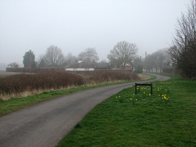
Image: © John Sutton Taken: 13 Mar 2014
The sign among the daffodils marks the northern edge of the hamlet of Dyer's Green. The houses ahead are the southernmost in the straggling village of Whaddon.
Images are licensed for reuse under creativecommons.org/licenses/by-sa/2.0
Image Location
Latitude
52.093102
Longitude
-0.031244