Rectory Lane, looking north towards Latchingdon village
Introduction
The photograph on this page of Rectory Lane, looking north towards Latchingdon village by Clint Mann as part of the Geograph project.
The Geograph project started in 2005 with the aim of publishing, organising and preserving representative images for every square kilometre of Great Britain, Ireland and the Isle of Man.

There are currently over 7.5m images from over 14,400 individuals and you can help contribute to the project by visiting https://www.geograph.org.uk
Rectory Lane, looking north towards Latchingdon village
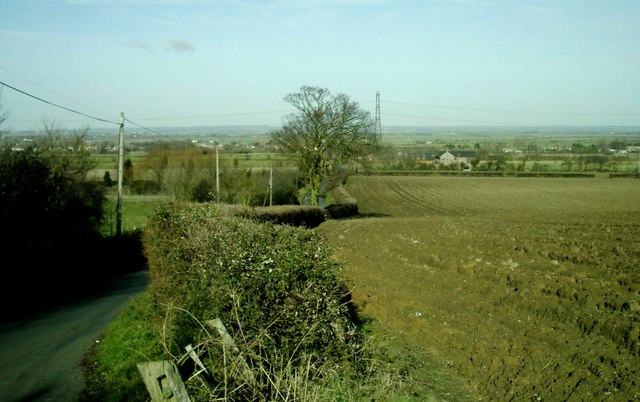
Image: © Clint Mann Taken: 23 Jan 2005
View from edge of field and towards top of scarp slope, adjacent to Rectory Lane, looking northwards across a flat landscape towards Latchingdon. Fields were ploughed at this time of year. Image also shows location of River Blackwater in the distance and low hills further beyond.
Images are licensed for reuse under creativecommons.org/licenses/by-sa/2.0
Image Location


Leaflet Map data © OpenStreetMap
Latitude
51.657938
Longitude
0.7299