Trent Valley from Newton on Trent northwards: aerial 2014
Introduction
The photograph on this page of Trent Valley from Newton on Trent northwards: aerial 2014 by Chris as part of the Geograph project.
The Geograph project started in 2005 with the aim of publishing, organising and preserving representative images for every square kilometre of Great Britain, Ireland and the Isle of Man.

There are currently over 7.5m images from over 14,400 individuals and you can help contribute to the project by visiting https://www.geograph.org.uk
Trent Valley from Newton on Trent northwards: aerial 2014
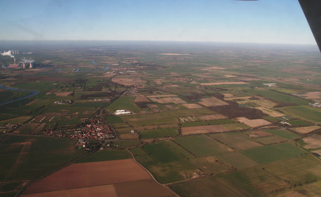
Image: © Chris Taken: 11 Mar 2014
The east bank of the River Trent. Cottam Power Station visible on the west Bank.
Images are licensed for reuse under creativecommons.org/licenses/by-sa/2.0
Image Location


Leaflet Map data © OpenStreetMap
Latitude
53.258432
Longitude
-0.750512