Office block in Wolverhampton
Introduction
The photograph on this page of Office block in Wolverhampton by Roger D Kidd as part of the Geograph project.
The Geograph project started in 2005 with the aim of publishing, organising and preserving representative images for every square kilometre of Great Britain, Ireland and the Isle of Man.

There are currently over 7.5m images from over 14,400 individuals and you can help contribute to the project by visiting https://www.geograph.org.uk
Office block in Wolverhampton
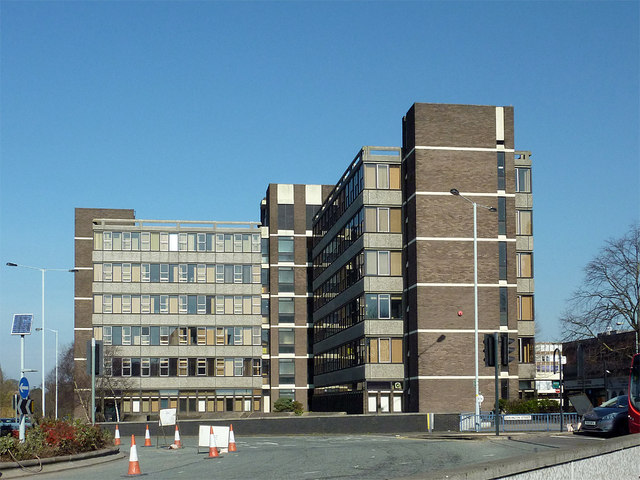
Image: © Roger D Kidd Taken: 9 Mar 2014
Crown House. This block of government offices is viewed from about eighty metres looking across the Chapel Ash Island roundabout. Darlington Street is off to the right.
Images are licensed for reuse under creativecommons.org/licenses/by-sa/2.0
Image Location
Latitude
52.58549
Longitude
-2.13412