Fry Road, Willesden
Introduction
The photograph on this page of Fry Road, Willesden by David Howard as part of the Geograph project.
The Geograph project started in 2005 with the aim of publishing, organising and preserving representative images for every square kilometre of Great Britain, Ireland and the Isle of Man.

There are currently over 7.5m images from over 14,400 individuals and you can help contribute to the project by visiting https://www.geograph.org.uk
Fry Road, Willesden
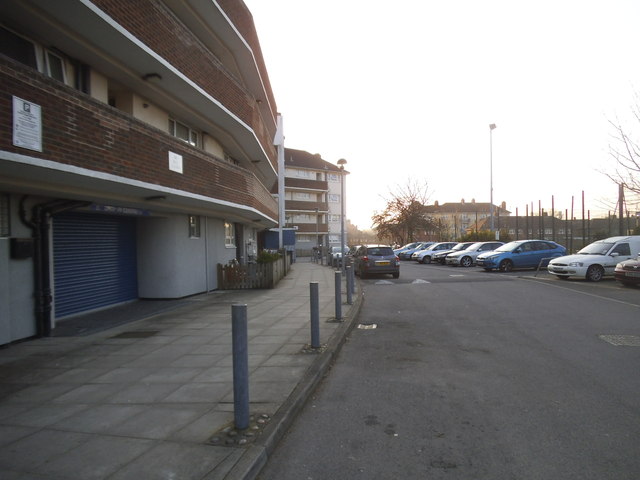
Image: © David Howard Taken: 13 Mar 2014
My 1960s map has this as Curzon Crescent, without a parallel road at Chadwick Road but these flats are clearly older, so if anyone knows the story please let me know.
Images are licensed for reuse under creativecommons.org/licenses/by-sa/2.0
Image Location
Latitude
51.541486
Longitude
-0.24449