Field at Rushford
Introduction
The photograph on this page of Field at Rushford by Derek Harper as part of the Geograph project.
The Geograph project started in 2005 with the aim of publishing, organising and preserving representative images for every square kilometre of Great Britain, Ireland and the Isle of Man.

There are currently over 7.5m images from over 14,400 individuals and you can help contribute to the project by visiting https://www.geograph.org.uk
Field at Rushford
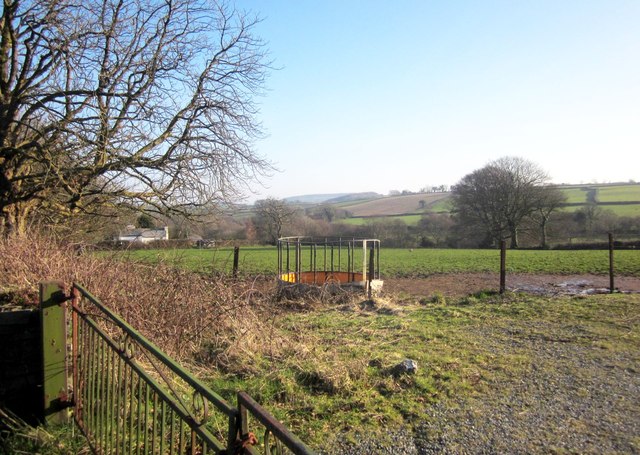
Image: © Derek Harper Taken: 8 Mar 2014
From by the village hall car park, looking towards the Lumburn valley.
Images are licensed for reuse under creativecommons.org/licenses/by-sa/2.0
Image Location
Latitude
50.567647
Longitude
-4.194149