Colindale: The New Chandos Public House
Introduction
The photograph on this page of Colindale: The New Chandos Public House by Nigel Cox as part of the Geograph project.
The Geograph project started in 2005 with the aim of publishing, organising and preserving representative images for every square kilometre of Great Britain, Ireland and the Isle of Man.

There are currently over 7.5m images from over 14,400 individuals and you can help contribute to the project by visiting https://www.geograph.org.uk
Colindale: The New Chandos Public House
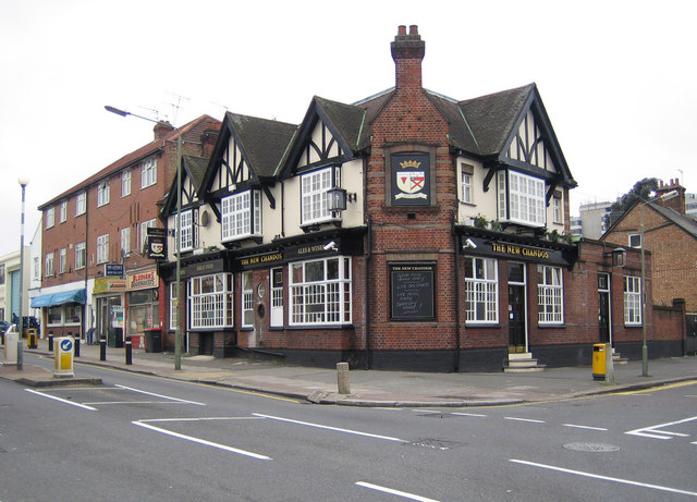
Image: © Nigel Cox Taken: 3 Apr 2007
This pub is on the west side of the junction of Annesley Avenue (to the right) and Colindale Avenue. The 1873 Ordnance Survey map shows this as an area of scattered farms along either side of Watling Street, one of which was named Collin Dale, which must have been within a couple of a hundred metres of this location.
Images are licensed for reuse under creativecommons.org/licenses/by-sa/2.0
Image Location


Leaflet Map data © OpenStreetMap
Latitude
51.593185
Longitude
-0.256069