Stone stile and public footpath to Southrop
Introduction
The photograph on this page of Stone stile and public footpath to Southrop by Vieve Forward as part of the Geograph project.
The Geograph project started in 2005 with the aim of publishing, organising and preserving representative images for every square kilometre of Great Britain, Ireland and the Isle of Man.

There are currently over 7.5m images from over 14,400 individuals and you can help contribute to the project by visiting https://www.geograph.org.uk
Stone stile and public footpath to Southrop
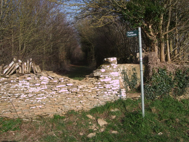
Image: © Vieve Forward Taken: 12 Mar 2014
The trees have grown and the stone wall has crumbled since Image] was taken five years ago, but the stile, made from a single slab of Cotswold stone remains.
Images are licensed for reuse under creativecommons.org/licenses/by-sa/2.0
Image Location
Latitude
51.722215
Longitude
-1.70984