Coed Bwlch-y-wern-hir
Introduction
The photograph on this page of Coed Bwlch-y-wern-hir by Jonathan Wilkins as part of the Geograph project.
The Geograph project started in 2005 with the aim of publishing, organising and preserving representative images for every square kilometre of Great Britain, Ireland and the Isle of Man.

There are currently over 7.5m images from over 14,400 individuals and you can help contribute to the project by visiting https://www.geograph.org.uk
Coed Bwlch-y-wern-hir
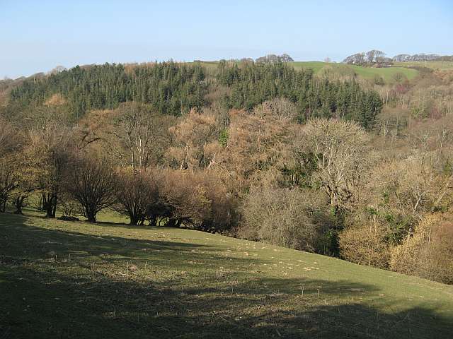
Image: © Jonathan Wilkins Taken: 12 Mar 2014
A view over sheep pasture to the wooded valley of Bwlch-y-wern-hir. Deciduous trees make a wonderful scene before the leaves break in Spring, and a contrast against the conifer plantation below the road to Penrhiw Uchaf.
Images are licensed for reuse under creativecommons.org/licenses/by-sa/2.0
Image Location
Latitude
53.255376
Longitude
-3.773536