"The Dumbles", Southwell
Introduction
The photograph on this page of "The Dumbles", Southwell by Oliver Dixon as part of the Geograph project.
The Geograph project started in 2005 with the aim of publishing, organising and preserving representative images for every square kilometre of Great Britain, Ireland and the Isle of Man.

There are currently over 7.5m images from over 14,400 individuals and you can help contribute to the project by visiting https://www.geograph.org.uk
"The Dumbles", Southwell
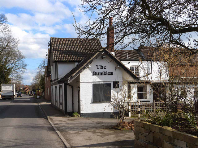
Image: © Oliver Dixon Taken: 7 Mar 2014
Pub on B6386, Oxton Road, out of Southwell. Dumble is a local word for the deep cut valleys, with attendant streams, which are a feature of the high ground to the north east of Nottingham (see Image).
Images are licensed for reuse under creativecommons.org/licenses/by-sa/2.0
Image Location
Latitude
53.075513
Longitude
-0.968079