Bend in lane near Ottery
Introduction
The photograph on this page of Bend in lane near Ottery by Derek Harper as part of the Geograph project.
The Geograph project started in 2005 with the aim of publishing, organising and preserving representative images for every square kilometre of Great Britain, Ireland and the Isle of Man.

There are currently over 7.5m images from over 14,400 individuals and you can help contribute to the project by visiting https://www.geograph.org.uk
Bend in lane near Ottery
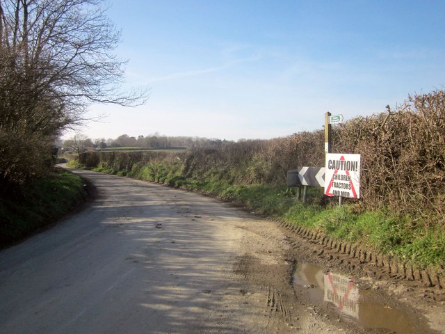
Image: © Derek Harper Taken: 8 Mar 2014
As the green sign shows, Lamerton Footpath 1 leaves the lane at this bend. I assume the larger notice refers to the lane ahead through the hamlet; I followed the path here, encountering plenty of mud, seeing a tractor from a distance, but no children, unless you count lambs.
Images are licensed for reuse under creativecommons.org/licenses/by-sa/2.0
Image Location
Latitude
50.555478
Longitude
-4.19076