Bennetts Road Allotments
Introduction
The photograph on this page of Bennetts Road Allotments by Peter Cox as part of the Geograph project.
The Geograph project started in 2005 with the aim of publishing, organising and preserving representative images for every square kilometre of Great Britain, Ireland and the Isle of Man.

There are currently over 7.5m images from over 14,400 individuals and you can help contribute to the project by visiting https://www.geograph.org.uk
Bennetts Road Allotments
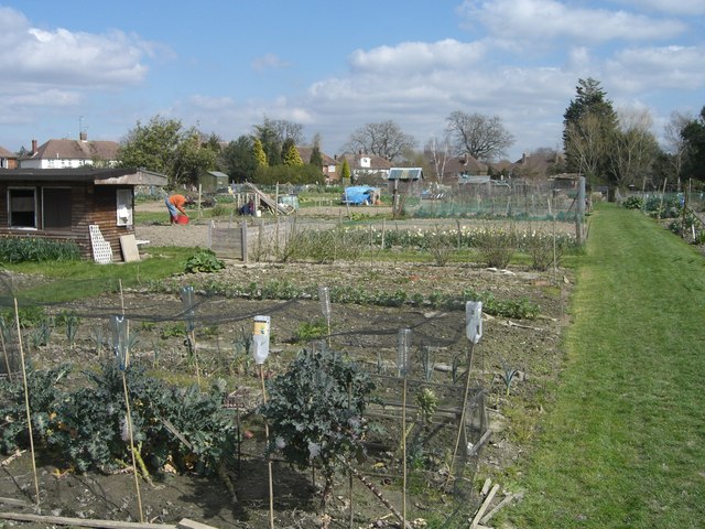
Image: © Peter Cox Taken: 4 Apr 2007
Leased from Horsham District Council, some 30 members of the allotment association garden 206 rods in less than two acres.
Images are licensed for reuse under creativecommons.org/licenses/by-sa/2.0
Image Location
Latitude
51.057498
Longitude
-0.311517