Lane to Millhill
Introduction
The photograph on this page of Lane to Millhill by Derek Harper as part of the Geograph project.
The Geograph project started in 2005 with the aim of publishing, organising and preserving representative images for every square kilometre of Great Britain, Ireland and the Isle of Man.

There are currently over 7.5m images from over 14,400 individuals and you can help contribute to the project by visiting https://www.geograph.org.uk
Lane to Millhill
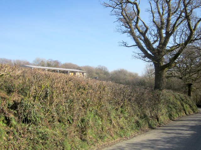
Image: © Derek Harper Taken: 8 Mar 2014
Higher up the lane than Image], and including a glimpse of a barn of straw bales that is close to woodland surrounding Millhill Quarry.
Images are licensed for reuse under creativecommons.org/licenses/by-sa/2.0
Image Location


Leaflet Map data © OpenStreetMap
Latitude
50.553869
Longitude
-4.190262